Table of Contents
Introduction
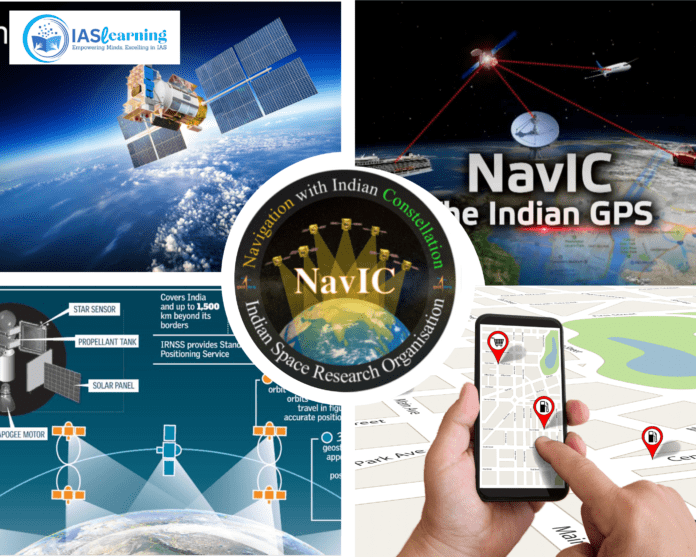
In the realm of navigation and satellite technology, the Indian Regional Navigation Satellite System (IRNSS), commonly known as NAVIC (Navigation with Indian Constellation), stands as a significant achievement by the Indian Space Research Organisation (ISRO). It is a regional satellite navigation system designed to provide accurate positioning and timing information to users within India and surrounding regions. This ambitious project has been instrumental in bolstering India’s space capabilities and reducing its dependence on foreign navigation systems. In this comprehensive essay, we will delve into the history, development, technical aspects, applications, and the future prospects of NAVIC.
Historical Context
The roots of NAVIC can be traced back to India’s aspirations for an independent satellite navigation system. The concept of a regional navigation system emerged in the early 2000s when India recognized the strategic importance of such technology for various applications, including disaster management, transportation, agriculture, and national security.
In 2006, the Indian government formally approved the development of a regional navigation system, which marked the beginning of this ambitious project. This decision was driven by India’s desire to reduce its dependence on the Global Positioning System (GPS) and other foreign navigation systems, which were controlled by other countries and could potentially be restricted in times of national need.
Development and Implementation
The development of Navigation with Indian Constellation was undertaken by the ISRO, India’s premier space agency, which has a long history of successful space missions and satellite launches. The project involved meticulous planning, cutting-edge technology, and precise execution.
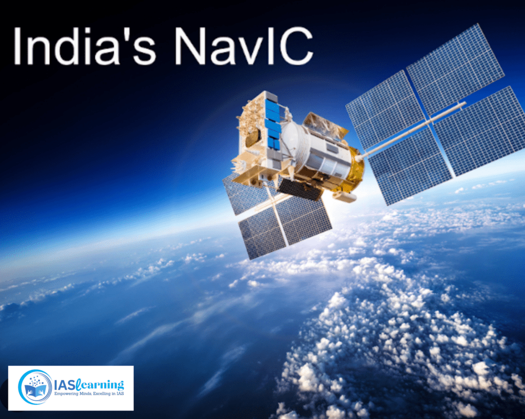
- Satellite Constellation: Navigation with Indian Constellation comprises a constellation of seven satellites. The initial constellation consisted of four satellites, but this was later expanded to seven to improve coverage and accuracy. These satellites are positioned in geostationary and geosynchronous orbits to cover the Indian subcontinent and surrounding regions effectively.
- Satellite Design and Launch: ISRO developed a series of satellites named IRNSS-1A to IRNSS-1I. These satellites are equipped with atomic clocks, communication payloads, and navigation payloads to broadcast signals that can be received by ground-based user equipment. Each satellite was launched into orbit using ISRO’s reliable Polar Satellite Launch Vehicle (PSLV).
- Ground Infrastructure: NAVIC’s effectiveness relies on a robust network of ground-based control centers and ranging and monitoring stations. ISRO established these facilities across India to ensure constant monitoring and control of the satellite constellation.
- Navigation Signals: NAVIC broadcasts two types of signals, L5 and S, on the L-band frequency. These signals are highly accurate and offer positioning information with a high degree of precision.
Technical Aspects
To understand NAVIC comprehensively, it’s essential to delve into its technical aspects, including its functioning, signal characteristics, and advantages.
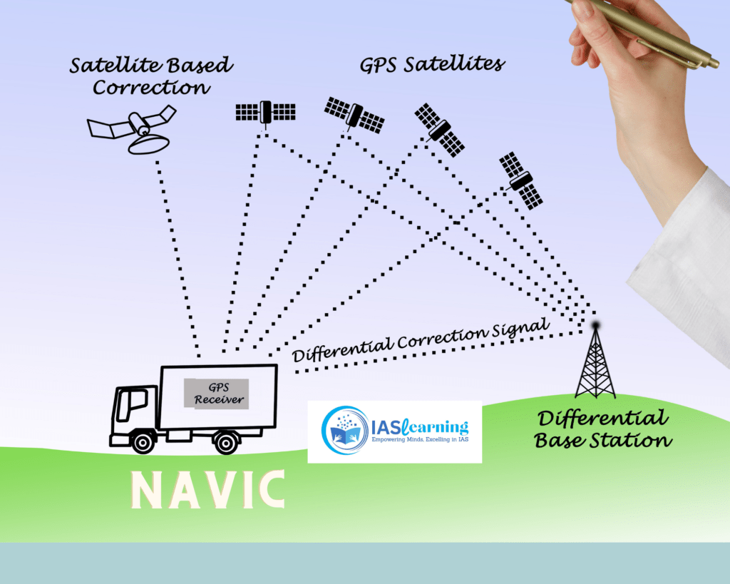
- Functioning: NAVIC operates on the principle of trilateration. It relies on signals transmitted by the satellite constellation, which are then received and processed by ground-based receivers. By calculating the time taken for the signal to travel from the satellite to the receiver, the receiver can determine its position accurately.
- Signal Characteristics: NAVIC signals are broadcast in the L-band frequency. The dual-frequency signals, L5 and S, provide improved accuracy and robustness compared to single-frequency systems. The L5 signal is used for civilian purposes, while the S-band signal is reserved for authorized users, including the military.
- Accuracy and Coverage: NAVIC boasts impressive accuracy, with a horizontal position accuracy of better than 10 meters and a vertical accuracy of better than 20 meters. It covers a vast region, extending up to 1,500 kilometers beyond India’s borders, making it useful for neighboring countries as well.
- Redundancy and Reliability: With seven satellites in the constellation, NAVIC offers redundancy to ensure continuous service even if one or more satellites experience issues. This redundancy enhances the system’s reliability, critical for applications where uninterrupted navigation is crucial.
Applications of NAVIC
NAVIC’s capabilities extend to a wide range of applications, making it an invaluable asset for India and the surrounding regions:
- Transportation and Navigation: NAVIC is integral to improving navigation in various modes of transportation, including road, rail, air, and maritime. It aids in route optimization, reducing travel time and fuel consumption. It enhances safety by providing real-time traffic information, weather updates, and precise positioning.
- Agriculture: Precision agriculture benefits significantly from NAVIC. Farmers can optimize irrigation, fertilization, and crop monitoring based on accurate location data. This leads to increased crop yields and efficient resource utilization.
- Disaster Management: During natural disasters such as floods, earthquakes, and cyclones, NAVIC plays a vital role in search and rescue operations, disaster relief, and emergency response coordination. Its accurate location information helps save lives and reduce the impact of disasters.
- Defense and National Security: The military and security forces rely on NAVIC for strategic and tactical purposes. Its encrypted S-band signals provide secure navigation for defense operations, ensuring the country’s sovereignty and security.
- Surveying and Geodetic Applications: NAVIC aids in precise mapping, land surveying, and geodetic measurements. It is instrumental in urban planning, infrastructure development, and land management.
- Telecommunications: NAVIC’s timing signals are crucial for synchronizing telecom networks, financial transactions, and power grid operations. It ensures precision in critical infrastructure systems.
- Scientific Research: NAVIC supports scientific research in areas like atmospheric and space research by providing accurate timing signals and positioning data.
- Civil Aviation: The aviation sector benefits from NAVIC by improving the accuracy and reliability of aircraft navigation systems. It enhances safety and efficiency in air travel.

Future Prospects and Global Cooperation
As NAVIC continues to evolve, there are several avenues for its future growth and enhancement:
- Expanding Constellation: ISRO has plans to expand the NAVIC constellation by launching additional satellites. This expansion will further improve coverage, accuracy, and reliability.
- Integration with Other Systems: India is exploring opportunities for interoperability and cooperation with other global navigation systems like GPS, GLONASS (Russia), Galileo (EU), and BeiDou (China). This interoperability will provide users with access to multiple navigation systems, enhancing accuracy and availability.
- Commercial Opportunities: NAVIC opens up new commercial opportunities for Indian businesses in sectors such as location-based services, logistics, and IoT (Internet of Things). Start-ups and entrepreneurs can leverage NAVIC’s capabilities for innovative applications.
- International Collaboration: India has offered to share NAVIC’s expertise and services with neighboring countries and other interested nations. This collaboration can enhance regional cooperation and development.
Conclusion
NAVIC represents a significant milestone in India’s space and technology endeavors. It has not only reduced the nation’s reliance on foreign navigation systems but also opened up new possibilities for economic growth, scientific research, and national security. With its diverse range of applications and continuous development, NAVIC is poised to play an even more prominent role in India’s journey towards technological self-reliance and global cooperation in the field of satellite navigation. As it continues to evolve and expand, NAVIC will remain a beacon of innovation and progress in the ever-advancing realm of satellite technology.
Frequently Asked Questions (FAQ)
What is NAVIC?
NAVIC, short for Navigation with Indian Constellation, is India’s regional satellite navigation system. It is designed to provide accurate positioning and timing information over India and the surrounding region.
How does NAVIC work?
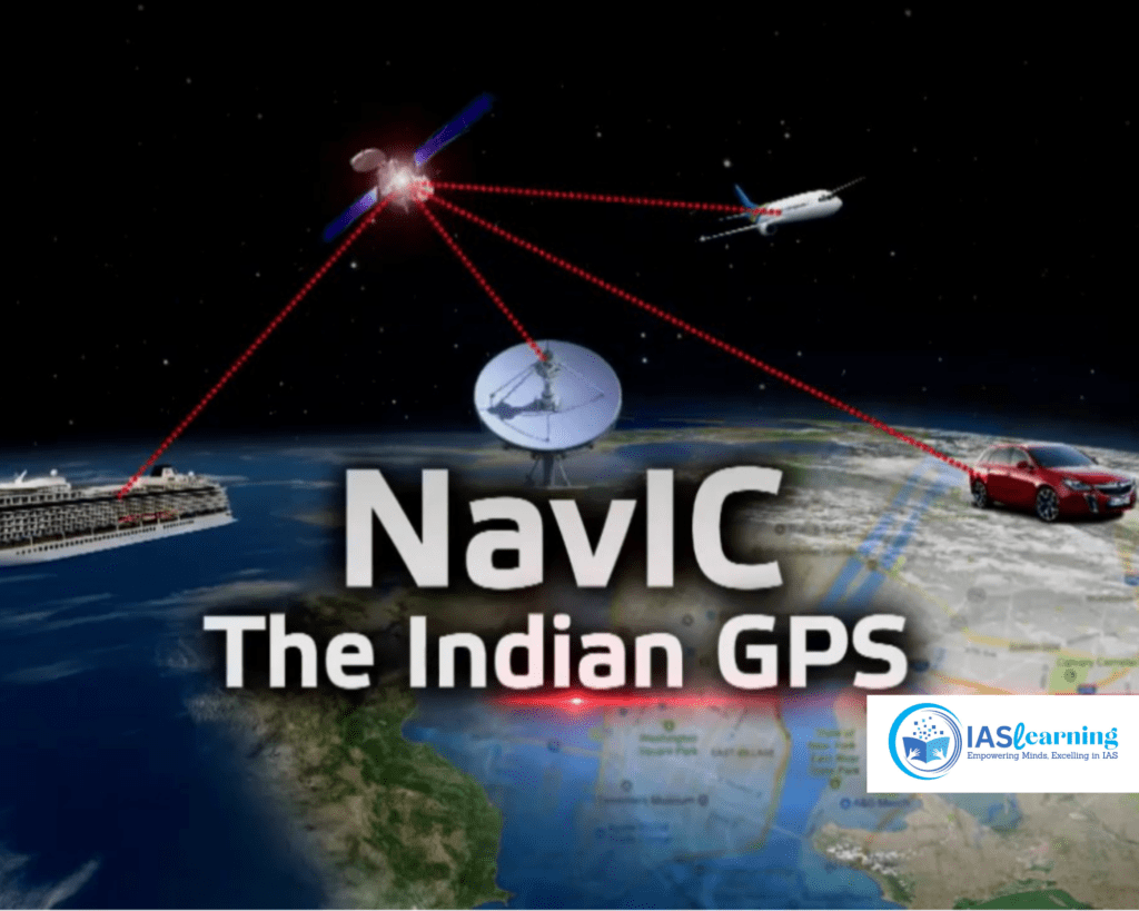
NAVIC consists of a constellation of seven satellites in geosynchronous and geostationary orbits. These satellites continuously broadcast signals containing information about their position and the current time. Receivers on the ground or in vehicles pick up these signals and use them to calculate their precise location.
What are the key objectives of NAVIC?
NAVIC has several key objectives, including:
- Providing accurate and reliable navigation services over India and its neighboring regions.
- Enhancing disaster management by enabling accurate positioning for rescue and relief operations.
- Supporting various sectors such as agriculture, transportation, and telecommunications by providing precise timing information.
Is NAVIC similar to GPS?
Navigation with Indian Constellation is similar in function to the Global Positioning System (GPS) but is independent of it. While GPS is controlled by the United States, NAVIC is India’s own regional navigation system. Both systems provide location and timing data, but NAVIC is tailored to the Indian subcontinent.
What are the advantages of using Navigation with Indian Constellation over GPS?
- Greater accuracy and reliability for positioning.
- Improved coverage in remote and densely populated areas.
- Enhanced performance during adverse weather conditions.
- Better support for regional applications and services.
Is Navigation with Indian Constellation only for military or government use?
No,Navigation with Indian Constellation is intended for both civilian and military use. It has a wide range of applications, including agriculture, transportation, disaster management, and more. Civilian users can access the basic positioning and timing services provided by NAVIC.
Are there any charges for using Navigation with Indian Constellation services?
Navigation with Indian Constellation basic services, including positioning and timing, are provided free of charge to civilian users. However, specialized or value-added services may come with associated costs.
How can I receive Navigation with Indian Constellationsignals?
To receive Navigation with Indian Constellation signals, you need a compatible receiver or device equipped with NAVIC capability. Many modern smartphones, navigation systems, and other devices have integrated Navigation with Indian Constellation receivers.
Is Navigation with Indian Constellation only available in India?
While Navigation with Indian Constellation is primarily designed to cover India and its surrounding regions, its signals can be received in neighbouring countries as well. India has plans to expand the coverage area to include a larger portion of the Asia-Pacific region.
Is Navigation with Indian Constellation compatible with other global navigation systems like GPS or GLONASS?Yes, Navigation with Indian Constellation-enabled devices can be designed to be compatible with multiple navigation systems, including GPS, GLONASS, and Galileo. This allows for improved accuracy and reliability by using signals from multiple satellite constellations simultaneously.
